blah blah blah
Hewes Hill
Length: 2.0 miles out-and-backDifficulty (click for info): Easy
Elevation Gain: 430 feet (+40 feet)
Rating (click for info): 5/10
Elevation: 939'
Prominence: 233'
Driving Directions:
Trailhead and parking area are on Warmac Road in Swanzey, NH. Drive south on Rt. 32 for 3.3 miles from the rotary in the center of Swanzey and turn right (west) onto Warmac Road. Drive 0.5 miles up the road and turn left into a gravel lot in front of an open field, across the street from Chebaco Kennels. Click here for a Google map.
About the Hike:
The hill country of the little southwestern town of Swanzey offers a surpising variety of hiking and scenery opportunities. Though low in elevation, by virtue of the frequently appearing cliffs and ledges, there are a good number of peaks with scenic views accessible hiking trails. Just one such example is Hewes Hill. Coming in just over 900 feet, it is part of a cluster of hills identified as the "Franconia Mountain Range" on maps. Though it bears no resemblance to the alpine peaks in the White Mountains with the same name, the hills sport some moderately tall cliffs that provide a nice view of the surrounding area. In addition, there is a unique boulder on top of the hill known for its supposed propensity to sway back and forth when pushed. A locally maintained trail climbs moderate slopes up to the top of the hill and provides access to all its scenery.
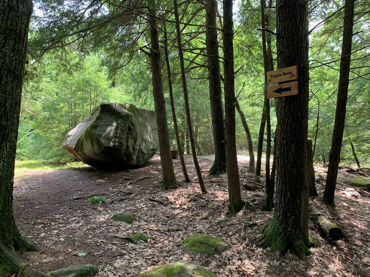
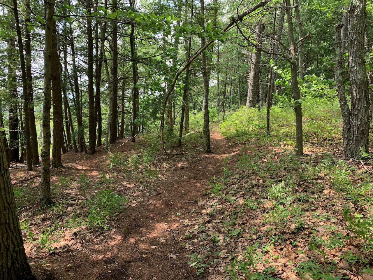
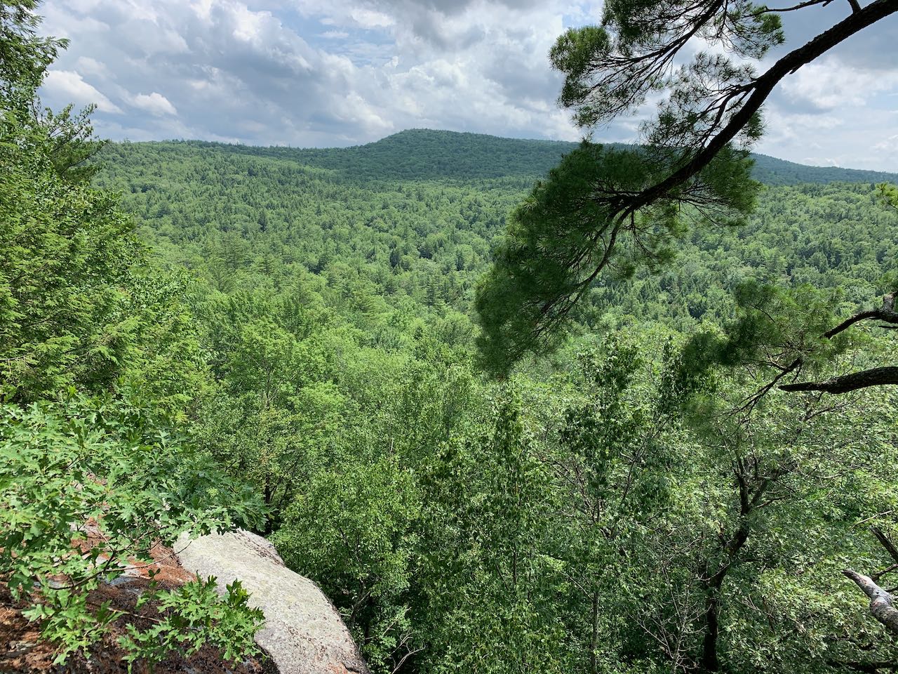
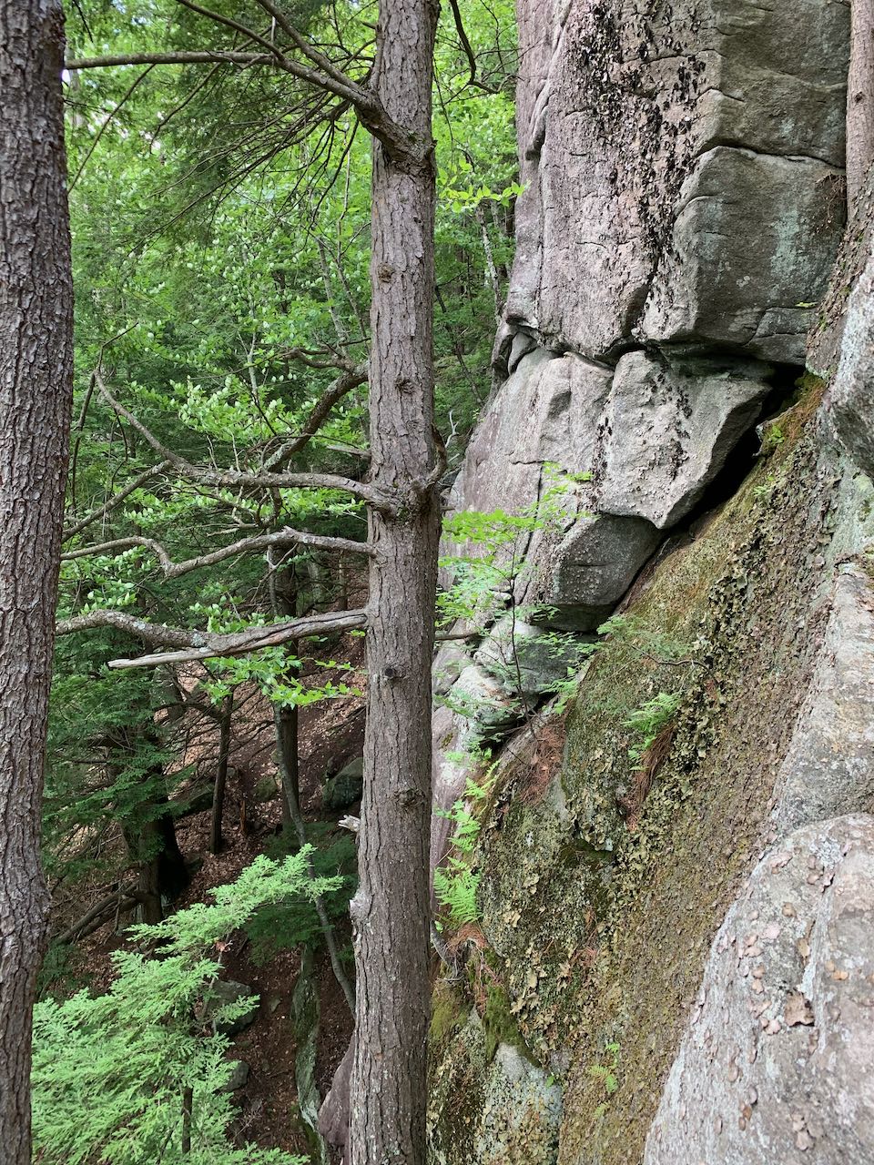
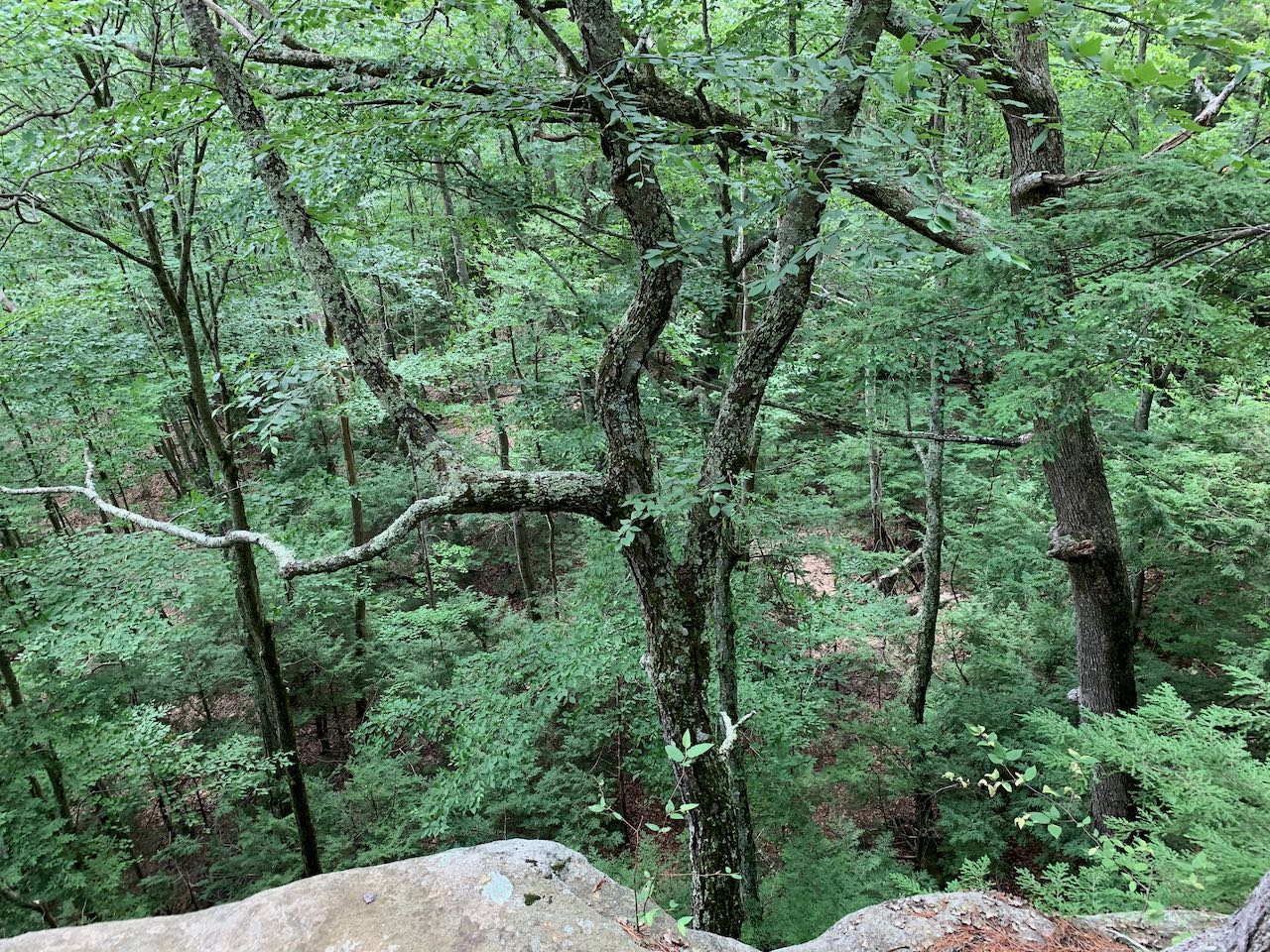
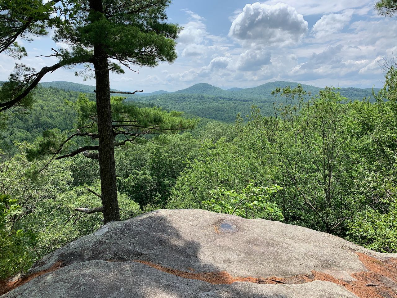
From the trailhead, follow the beaten path cutting diagonally across the field to the right. On the other side, you will find a sign for the Tippin' Rock Trail. The trail leads toward the hill and begins climbing easily. After a quarter mile, it turns left to join an old road through the woods. The trail climbs diagonally up toward the top of the hill, with sparse trees and rocks scattered through the forest. After another quarter mile, the trail rounds the top of the hill. The old road ends and the trail descends a bit over the crest of the hill to reach Tippin' Rock in another 0.15 miles. A sign marks the oblong boulder, set on a pad of ledge. It's up to each visitor to determine whether the "tipping" is just a legend or if the boulder can really be rocked back and forth. The trail takes a sharp turn to the right here and runs along the summit ridge for 0.2 miles. After meandering through low-bush blueberries, the trail reaches a point where a short side path on the left leads out to an open, table-like ledge with nice views of the nearby round hills. The drop off the cliffs is impressively sharp, and the tree canopy from below just barely reaches the ledge. The cliffs run for about a tenth of a mile on the south side of the summit ridge. Just a bit further up the trail, another side path branches off and leads down to a spot in the middle of the cliffs where you can experience the full magnitude of the rock faces. This portion of the cliffs is frequented by rock climbers, and beaten paths lead all around the area. The main trail leads up to the highest point on the cliffs, where there is another outlook. Just behind is the top of the hill.
Printable directions page